Since we have recently changed our clocks and with the summer just around the corner, there are no more excuses for not going out and enjoying nature. There are dozens of choices in the land of a thousand rivers. Even though you will find a great diversity in all the possible activities and experiences, there is something interesting that you will encounter everywhere in this region: in Galicia, the sun rises and sets one hour later than in the Spanish Levante (the eastern part of Spain).
What does that mean? Well, it means that even before reaching April, there is already natural light till nine o'clock at night. Another interesting fact: on dates close to the 21st of June, the longest day of the year, the complete sunset does not occur before 11 o’clock at night, a fact that is probably unique in the world. This is definitely something to keep in mind when you are planning your days and activities in Galicia around that date.
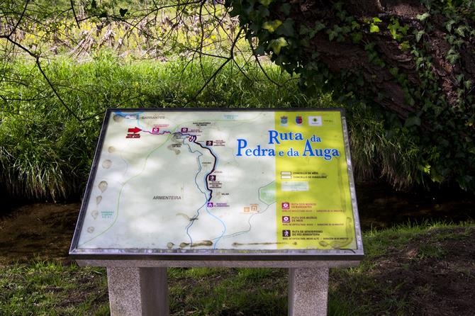
There are many hiking options in Galicia, you can find another popular route called the Fragas do Eume here, but today we want to present you the PR-G 170 or La Ruta da Pedra e da Auga (the Route of Stone and Water). The route runs along the Armenteira river by the municipalities of Ribadumia and Meis, in the heart of the Salnés region, a beautiful and touristic area next to the Arousa estuary, with magnificent beaches along the coast and picturesque vineyards.
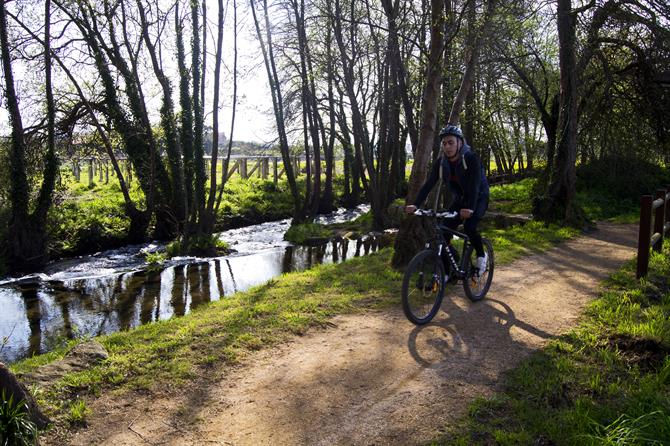
It is a route with little difficulty, this makes it ideal for walking with children and it's even suitable for people of a certain age. Besides doing the route by foot, it is also suitable for mountain biking. Interestingly, the trail coincides with an old road that the local population used to go over every Easter Monday to climb to the Monastery of Armenteira.
How to get there
The beginning of the route is quite easy to find. Either from the N-550, or from the AP-9 (a toll road), that connect Compostela and Pontevedra, you have to get on the AG-41, the highway that crosses the Salnés region, and take the exit for Ribadumia. Immediately, you will come across the roundabout for the VG-4.2, the gateway to the entrance of Ribadumia by Barrantes, the parish of the municipality, famous for its wine.
When leaving the roundabout you will see a bar-restaurant on the right hand side and the tourist office of Ribadumia (a typical wooden hut) on the other side. The route starts about thirty metres from the bar. There are several posters and large signs pointing to the exact point to make sure you won’t miss it.
The route
The route covers a distance of 8.2 kilometres. Watch out: the distance announced on the information panels (6.5 kilometres) is not correct. Perhaps they did this to encourage a healthy lifestyle by telling a little white lie?
The route has two clearly distinct parts. The first part is a dirt path which is almost like a river walk. Always alongside the Armenteira river and under the fresh foliage, it is an easy path to go over and enjoy it.
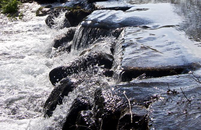
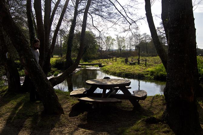
The path is in flawless condition: the streetlights are in harmony with the natural environment and there is a pretty fence alongside a large part of the route. You will also always find wooden benches and tables if you want to rest for a while or have a well-deserved snack.
Although the most characteristic part of the path are the mills (muíños in Galician), it is the "stone", and the "water" of the river, that give their name to the route. The biggest part of the mills are carefully rehabilitated and most striking is their abundance: there are dozens of them (but we stopped counting after number 40).
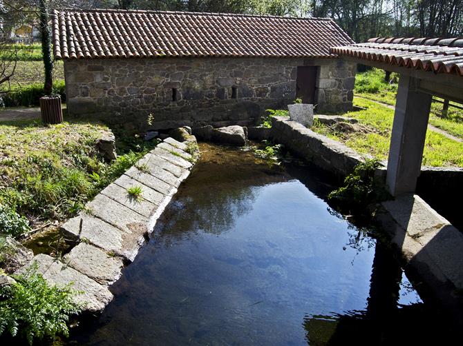
There are also several old laundry places and riverside areas with "poldras", as the stones are called by Galician locals (and steps that are formed by those same stones), that allow you to walk through the water of the rivers.
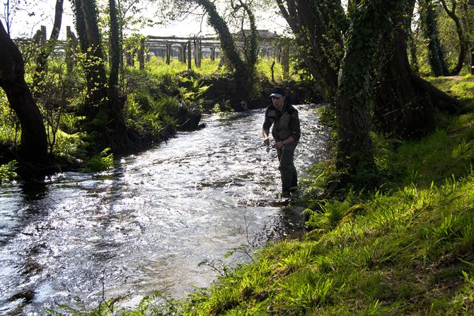
In this first part of the path it is quite common to find some fishermen trying their luck: oven baked trout is delicious!
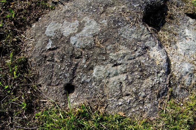
Shortly after starting the route, you will reach the molino do Con (the mill of Con). Next to it, on the floor, there is a petroglyph. This is a rock with curious inscriptions, which seem to be drawn in the form of a cross.
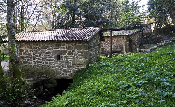
Approximately 900 or 1,000 metres after the start of the route, the path crosses the AG-41 road. This is the only "black" spot of the route. Soon after that you will reach, what we know as, the Muíños de Meis (the mills of Meis). Here you can find four staggered mills that offer a very rural picture, surrounded by a spectacular recreational area located on the slopes of a small hill called Cabeza de Boi (head of Boi).
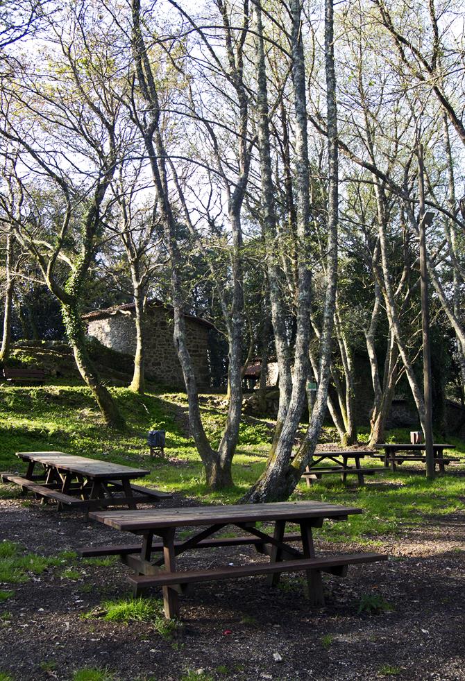
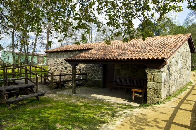
This place is very charming and it is nice to spend some time here. This grove of trees consists of several species, especially alders, willows, birches, oaks and elderberries. You will also find a little stone house that has been transformed into a bar, including a terrace.
At this point there is a deviation that leads you to the nearby "Aldea Labrega" (Labrega village), a kind of "Spanish village" similar to villages that you can find around Barcelona, but the Galician and Lilliputian version. This village represents the everyday life of a typical Galician village in the beginning of the twentieth century. It has a church, a typical Galician granary, a cross, an oven and animals. If you would like to know more about the local culture and history of Galicia, I recommend you to read this article about local Galician festivals and more.
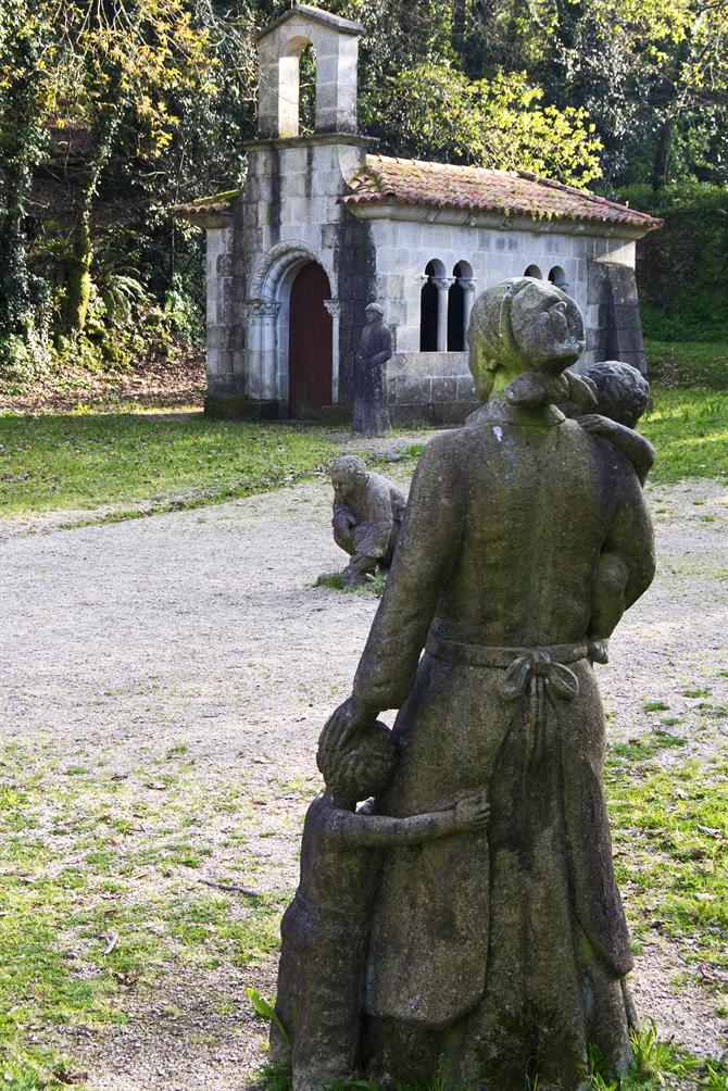
This recreational area, about 2.5 kilometres from the starting point of the route, marks the end point of the first part of the path. From here the road will tilt more and more, and you will go through zones of high vegetation covered with great beauty.
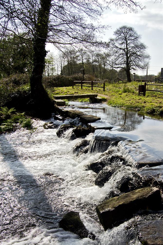
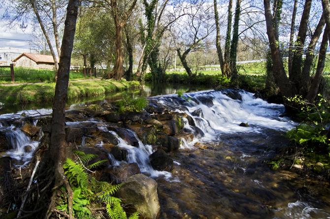
Even though the path changes a bit, you are still walking besides the river, which has no shortage of small waterfalls and rapids. Meanwhile the mills also keep appearing continuously. The peace that you experience on this stretch of the route is admirable, it's almost like hiking and doing yoga at the same time
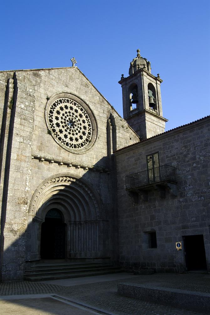
The route finishes at the Monastery of Armenteira of the Cisterian Order. The actual monastery is in the Renaissance and Baroque style (the cloister, for example, is the from the sixteenth century), although the original church has been preserved, with six archivolts and a superb open-work rose window.
There is also a bar outside of the precincts of the monastery, where you can recover your strength with an empanada de zamburiñas (a typical Galician pie with scallops). Well, despite being between two mountains, the sea (and its delicious products) is not far away. That is Galicia...
